| ||
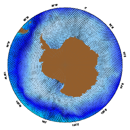
| The Antarctic Coastal current as represented by the Mariano Global Surface Velocity Analysis (MGSVA). The Antarctic Coastal current is poorly represented here because of the lack of data. The MGSVA is based on ship-drift estimates of sea surface velocities that are mostly available along major shipping routes. Click here for example plots of seasonal averages. | ||
The Antarctic coastal zone shares some similarities with other coastal zones, but is dominated by relatively unusual aspects. First of all, location of the "coast" changes dramatically on an annual basis, because sea-ice extends hundreds of kilometers from the land in winter, before melting back to close to the shore in summer. Ice advances most rapidly in May and June, reaches maximum coverage in September, retreats most rapidly in November and December, and it reaches a minimum in February (Deacon, 1984). This annual expansion of sea-ice covers 22 million km2 in winter but only 8 million km2 in summer, and is such a dominat aspect of the waters sorrounding Antarctic that any assesment of processes in the coastal zone must include the entire region anually covered in sea ice. Secondly, the coastal shelf sorrounding Antarctica is relatively narrow and deep. This aspect, the dispersive nature of the Southern Ocean sea-ice circulation, and the lack of riverine inputs represent key differences from the conditions which prevail in the Arctic (Tchernia, 1980).
Grelowski and Pastuszak (1984) and Le and Shi (1997) agree that the Antarctic Coastal Current is barotropic and driven mainly by east winds south of 66°S. However, thermohaline effects can also be important, according to Fahrbach et al. (1992). A large horizontal pressure gradient is found in the frontal zone over the continental slope that intensifies the wind-driven flow and produces the high velocity core of the Antarctic Coastal Current. Fahrbach et al. (1994) state that freshening of the upper one kilometer of near-surface coastal/ocean waters increases the sea surface height near the coast and thus the onshore pressure gradient. The resulting geostrophic flow is in the same nominal direction as the wind-driven flow and this leads to the intensified flow of the Antarctic Coastal Current.
The large horizontal pressure gradient near the coast allows the current to reach speeds of up to 25 cm s-1 over the continental slope. In contrast, the average speed of the current is less than 5 cm s-1 farther offshore (Fahrbach et al. 1994). The speed of the Antarctic Coastal Current decreases in the vertical as well as offshore. In the upper 600 m, along the upper slope, it flows at 10-13 cm s-1; at 5 m off the bottom, it flows at 7 cm s-1; and mean current speeds on the shelf are as low as 2.5 cm s-1 (Fahrbach et al. 1994). On average, the current speed is 5-10 cm s-1 (Fahrbach et al. 1994, Le and Shi 1997).
Schroeder and Fahrbach (1999) found that the westward relative transport of the Antarctic Coastal Current varies between 6 and 11 Sv at the Greenwich Meridian. They obtained values of only 3-5 Sv on sections further to the east or west.They attribute the differences to an annual cycle, since they sampled the Greenwhich Meridian in winter and autumn and the other sections in summer. That the current should be at a maximum in winter and a minimum in summer is consistent with observations made by Fahrbach et al. (1992) and Oshima et al. (1996).
Tchernia and Jeannin (1980) studied the Antarctic Coastal Current by tracking icebergs with a satellite. They found that iceberg trajectories, in the areas of the current closest to shore, exhibited small loops of 4 to 6 km (6 to 10 nautical miles) diameter that lasted 4 to 8 days. The loops became larger, more frequent, and of longer duration when the icebergs were floating into the open sea. The researchers hypothesized that the southernmost areas of the current are steered on the left by the continental margin, providing stability. When the current flows farther offshore at greater depths and turns to the east, the Coriolis effect is to the north. This causes the circulation to become more unstable and large amplitude meanders of the Antarctic Coastal Current are formed. These meanders can then pinch off and form eddies (Le et al. 1998).