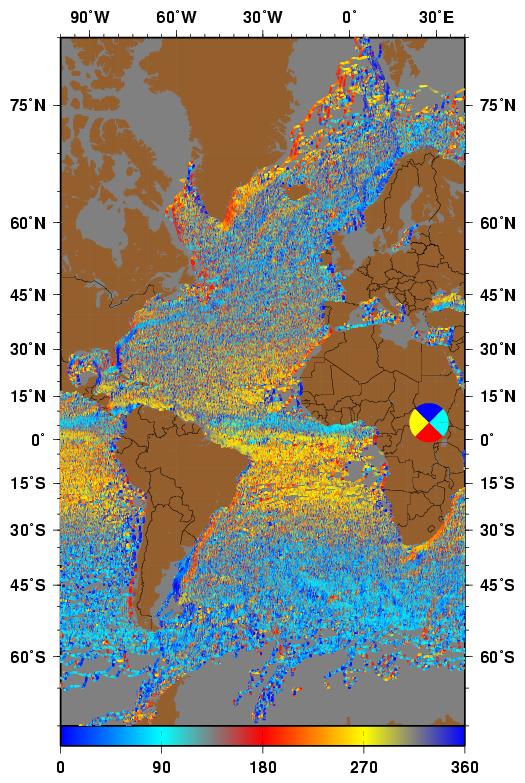
Atlantic |
 Indian |
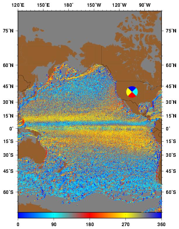
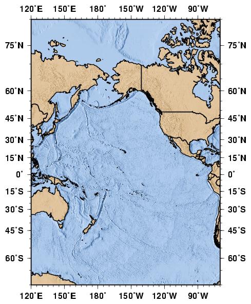 Pacific |
|
Ocean Surface Currents Basin Maps |
| Maps: Topography/Bathymetry, Historical Ship Drift, Satellite-Derived Currents (OSCAR), and Drifting Buoy maps. |
Maps are plotted in a Mercator projection and the (sub-)polar regions are not to scale and are expanded in longitude.
Clicking on a thumbnail image loads a larger image, clicking on the figure caption loads that basins map page.
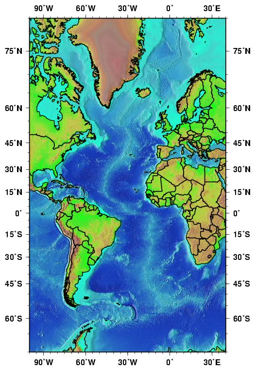
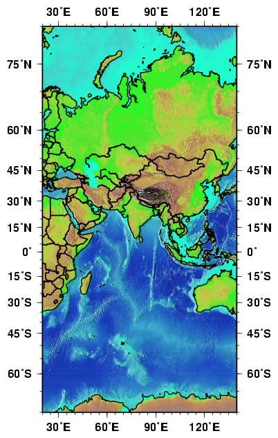
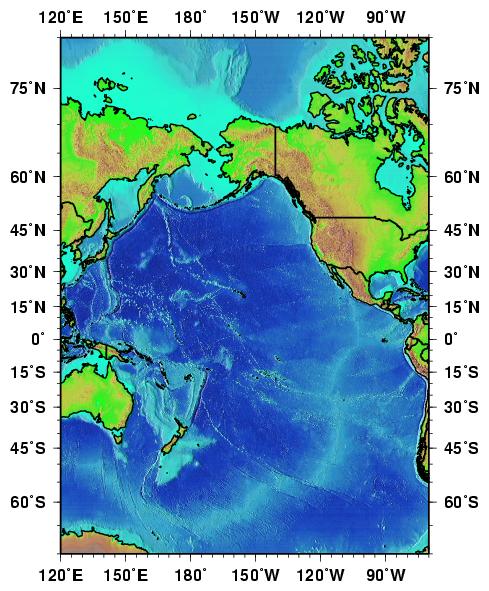
Topography/Bathymetry: - 2 Tone with labels
Atlantic
Indian
Pacific
Topography/Bathymetry: - Color without labels
Atlantic
Indian
Pacific
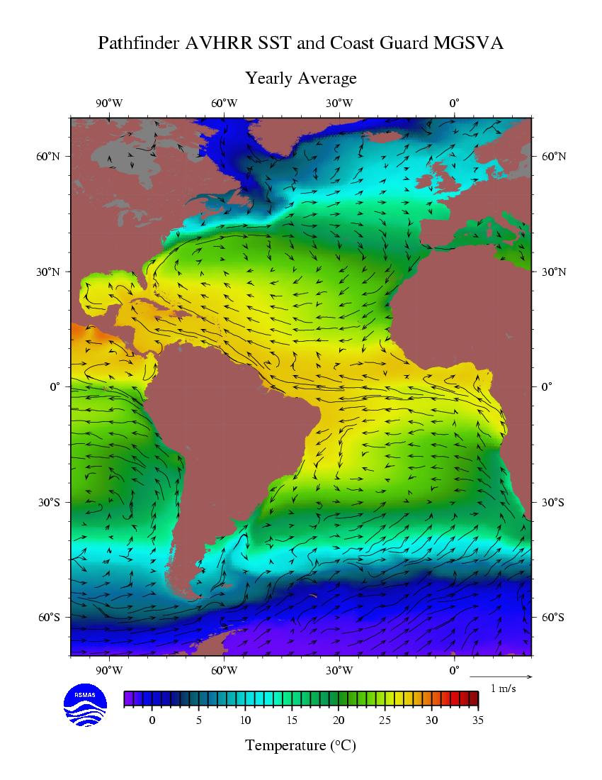
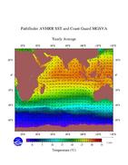
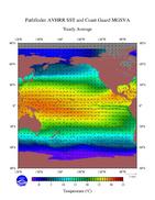
Historical: Ship Drift Data - Yearly MGSVA plots.
Atlantic
Indian
Pacific
Historical: Ship Drift Data - Seasonal MGSVA slideshow.
Atlantic
Indian
Pacific
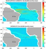
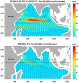
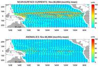
OSCAR - Ocean Surface Current Analyses - Real time.
Thanks to Gary Lagerloef, Fabrice Bonjean (ESR).
Atlantic
Indian
Pacific
These data are updated about every week, as a running monthly average.
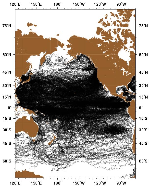
Drifting Buoy Data: - Spaghetti Plots - b/w of buoy tracectories.
Atlantic
Indian
Pacific
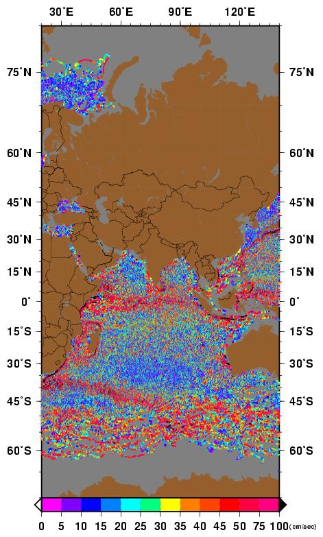
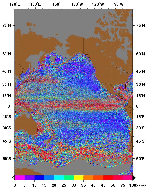
Drifting Buoy Data: - Speed - as above only color denotes drifter speed.
Atlantic
Indian
Pacific
Drifting Buoy Data: - Heading - as above only color denotes drifter heading.
Atlantic
Indian
Pacific