 |
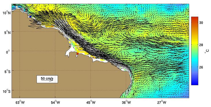
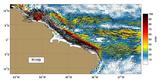
Figure 1.
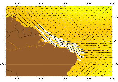
The North Brazil current as represented by the Mariano Global Surface
Velocity Analysis (MGSVA). The N. Brazil current transports a
significant amount of water, including freshwater from the Amazon,
northwestward along the coast of northern Brazil, French Guiana, and
Suriname. It is fed by the S. Equatorial Current and part of it becomes
the Guiana Current. Depending on the season, the N. Brazil current
retroflects and feeds the N. Equatorial counter current. This
retroflection is strongest during the summer months.
Click here for example plots of
seasonal averages.
|
|
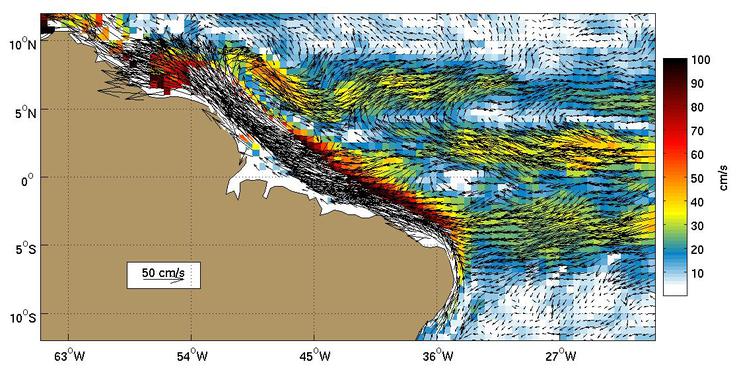
Figure 2.
Global Ocean Surface Velocities from Drifters
(top panel w/ SST, bottom panel w/ Speed)
Figure Caption is Under Construction.
Click here for example plots of
seasonal averages.
|
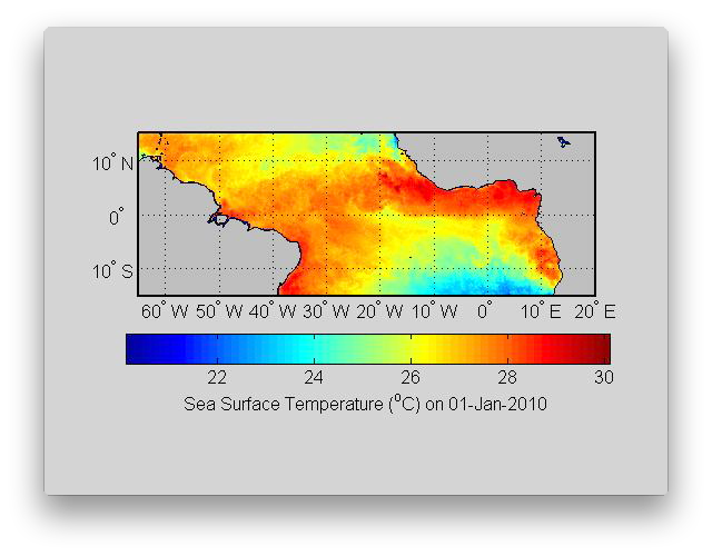 |
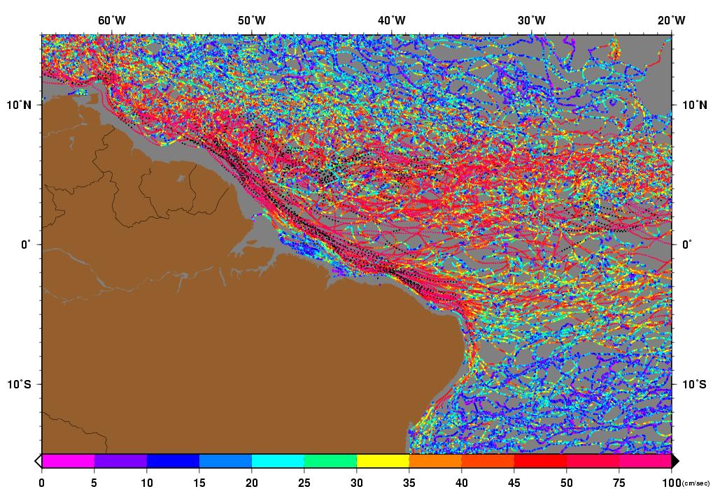
Figure 3.
The North Brazil Current is important for transporting warm equatorial waters northwestward along the Brazilian Coast. The retroflection of the North Brazil Current, visible between 5°N and 10°N, is an important process that produces North Brazil Current rings and feeds the North Equatorial Counter Current. The rings are most visible at the start of the animation with cold water being wrapped around the rings, in early June and at the end of December as warm anomalies.
( Click the thumbnail to play the animation. )
|
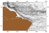 |
Figure 4.
|
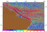 |
Figure 5.
|
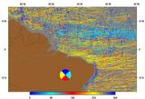 |
Figure 6.
|
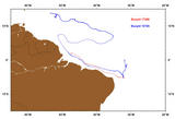 |
Figure 7.
Buoys ID 17286 (red) and 19725 (blue) both move quickly along just
offshore of the North Brazil Coast. Buoy 19725 also exhibits the
well-known retroflection of the North Brazil Current during
October of 1998. It is then advected by the North Equatorial Current
into the source region for the Antilles Current.
|
 |
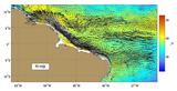
Figure 8.
AVRRR image of the sea-surface temperature (SST).
|
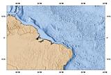 |
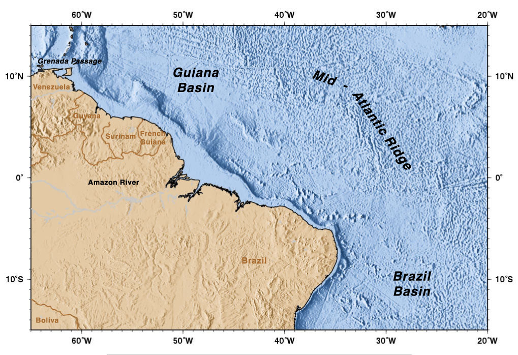
Figure 9.
Geography of the region.
|
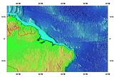 |
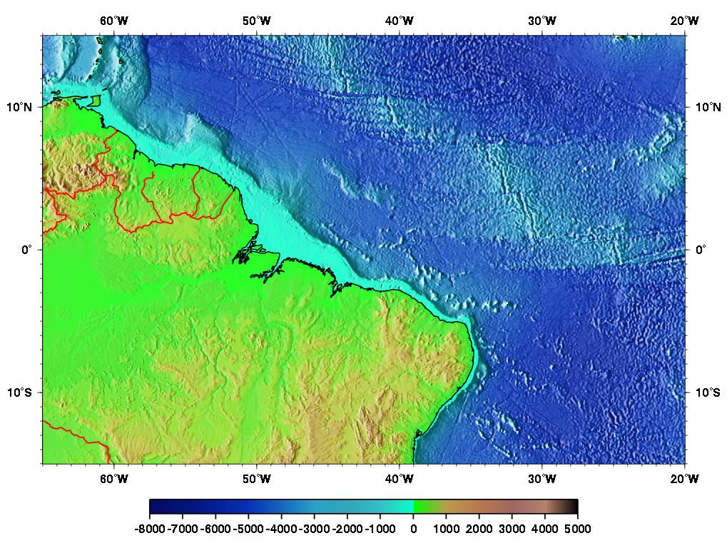
Figure 10.
Topography/Bathymetry of the region.
|